| Date |
March 20, 2019
|
|---|---|
| Content Type |
User Story
|

|
|
| Data Applications |
Climate & Weather
Ocean & Coastal Dynamics
|
The Great Lakes are the largest freshwater system on earth. Knowing the environmental and climatic impacts on the Great Lakes is vital information to the more than 30 million residents of the Great Lakes Basin. U.S. and Canadian Great Lakes agencies work together to document significant quarterly events, seasonal and yearly changes for the Great Lakes region and compile them into quarterly reports. Contributing partners include the Midwest Regional Climate Center, Environment and Climate Change Canada, Great Lakes Region State Climatologists, NOAA, U.S. Army Corps of Engineers, the National Integrated Drought Information System, and the U.S. Department of Agriculture Midwest Climate Hub.
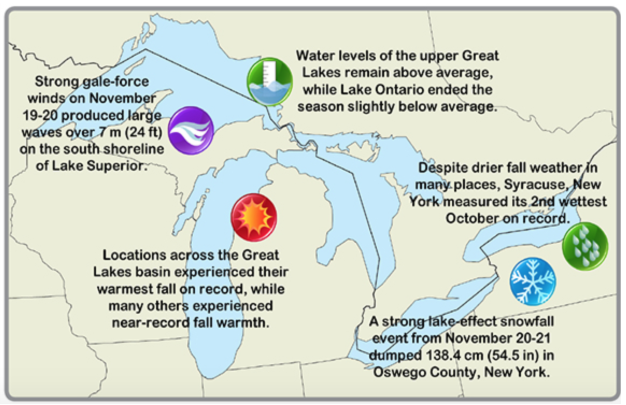
The Great Lakes Quarterly Climate Impacts and Outlook bulletins identify changes in surface lake temperature, ice cover, water level, precipitation, air temperature, agriculture and algal blooms. This information provides insight into our understanding of seasonal trends and predicting the climatic future of the Great Lakes.
NOAA Great Lakes CoastWatch data used in these bulletins includes Sea Surface Temperature (SST) from the Advanced Very High Resolution Radiometer (AVHRR) and Visible Infrared Imaging Radiometer Suite (VIIRS), ice cover products derived from Synthetic Aperture Radar (SAR) and real time marine data from buoys, coastal met stations, airports, and ships.
Great Lakes Region Quarterly Climate Impacts and Outlook reports are archived on the Midwestern Regional Climate Center website here: https://mrcc.illinois.edu/pubs/pubsGreatLakes.jsp
References and Related Reading:
- Plattner, S., Mason, D. M., Leshkevich, G. A., Schwab, D. J., & Rutherford, E. S. (2006). Classifying and Forecasting Coastal Upwellings in Lake Michigan Using Satellite Derived Temperature Images and Buoy Data. Journal of Great Lakes Research, 32(1), 63-76.
- White, C., Heidinger, A., Ackerman, S., & Mcintyre, P. (2018). A Long-Term Fine-Resolution Record of AVHRR Surface Temperatures for the Laurentian Great Lakes. Remote Sensing, 10(8), 1210.