| Date |
September 23, 2021
|
|---|---|
| Content Type |
Student Spotlight
|
| Author(s) | |

|
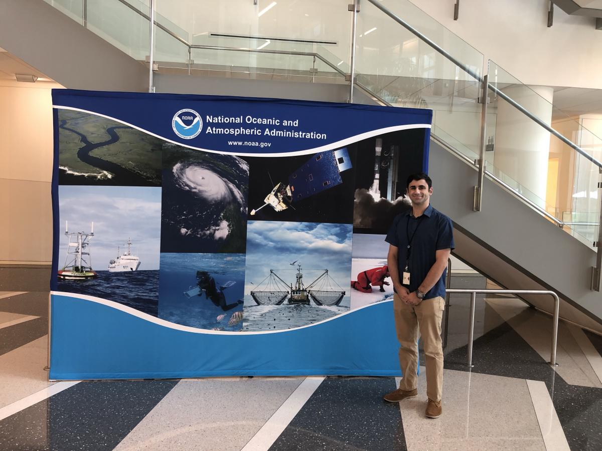
Over the past year, graduate assistant Zachary Paolillo has been working to support NOAA CoastWatch communications efforts. Zach is a master’s student in the University of Maryland’s Geospatial Information Sciences program. Zach is interested in spatial analysis of environmental issues as well as gis/web programming. During his time at NOAA, Zach worked on producing outreach and training materials including compiling examples of how NOAA CoastWatch data are used and a tutorial for analyzing satellite data with ArcGIS.

“This graduate assistantship allowed me to explore NOAA Data and gave me a new perspective on how to obtain and edit data,” said Zach. “I learned about the various satellites that NOAA used and their data products, particularly Ocean Color, Sea Surface Temperature, and Synthetic SAR. The assistantship allowed me to use the raster based NetCDF file format and create a user’s guide on how to import and edit them in ArcGIS for the other CoastWatch nodes. I encourage people to always pursue experiences outside their comfort zone because those experiences are the ones that ultimately allow them to learn the most.”
