Sea Surface Salinity - Near Real Time - MIRAS SMOS
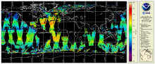
CoastWatch/OceanWatch produces 0.25-degree longitude/latitude Level-3 gridded sea-surface salinity (SSS) daily and 3-day mean datasets by box averaging European Space Agency (ESA) Soil Moisture – Ocean Salinity (SMOS) mission’s Microwave Imaging Radiometer with Aperture Synthesis (MIRAS) satellite observations over the global ocean.