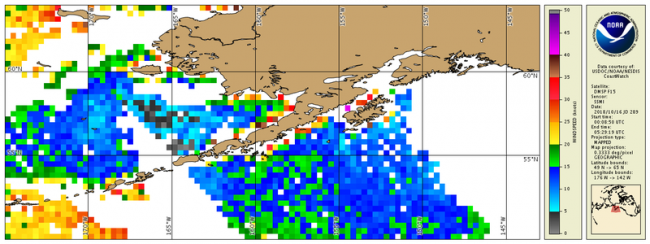
Defense Meteorological Satellite Program (DMSP) / Special Sensor Microwave Imager (SSM/I) Wind Speed
Data Access
Product Overview
Product Details
| Temporal Coverage |
Near real-time + 3 days |
|---|---|
| Product Families |
Sea Surface Winds
|
| Measurements |
Sea Surface Wind Speed
|
| Processing Levels |
Level 3
|
| Latency Groups |
0 Hours <= 24 Hours (NRT)
|
| Latency Details |
Less than 24 hours |
| Spatial Resolution Groups |
2km+
|
| Spatial Resolution Details |
0.33° (37 km) |
| Data Providers |
NOAA
NESDIS
OSPO
|
Spatial Coverage
Global
| Description |
180W - 180E |
|---|