Sentinel-2

Description

Sentinel - 2A / 2B

Platform Type
Low Earth Orbit Satellite (LEO)
Instruments
Organizations
ESA
Copernicus
Orbital Altitude
786 km
Equatorial Crossing Times
10:30 desc
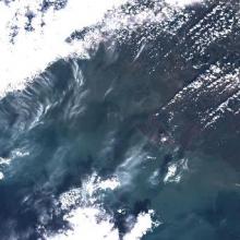
MSI Sentinel-2 Imagery

Product Families
True Color Imagery
Summary

MSI Sentinel-2 high spatial resolution imagery and data from Copernicus are served from CoastWatch for coastal US regions in near real time as the data become available.  JPEG and TIF images as well as zipped Level 1C data are available.