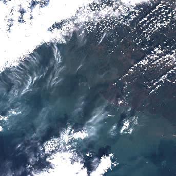
MSI Sentinel-2 high spatial resolution imagery and data from Copernicus are served from CoastWatch for coastal US regions in near real time as the data become available. JPEG and TIF images as well as zipped Level 1C data are available.
Data Access
Product Overview

Product Details
| Product Families |
True Color Imagery
|
|---|---|
| Measurements |
True Color Imagery (RGB)
|
| Processing Levels |
Level 1
|
| Latency Groups |
0 Hours <= 24 Hours (NRT)
|
| Spatial Resolution Groups |
0 m <= 100 m
|
| Spatial Resolution Details |
290 km swath with 13 spectral channels incorporating four visible and near-infrared bands at 10 m resolution, six red-edge/shortwave-infrared bands at 20 m and three atmospheric correction bands at 60 m |
| Data Providers |
Copernicus
ESA
|
Spatial Coverage
Selective Acquisitions
| Description |
Variable coverage. Observations taken as requested over targets of interest. |
|---|
Platforms
Sentinel-2
| Description |
Sentinel - 2A / 2B |
|---|---|
| Platform Type |
Low Earth Orbit Satellite (LEO)
|
| Instruments | |
| Organizations |
ESA
Copernicus
|
| Orbital Altitude |
786 km
|
| Equatorial Crossing Times |
10:30 desc
|
Instruments
MSI
| Description |
Multi-Spectral Imager for Sentinel-2 |
|---|---|
| Platforms | |
| Instrument Types |
Imager
|
| Organizations |
ESA
|
