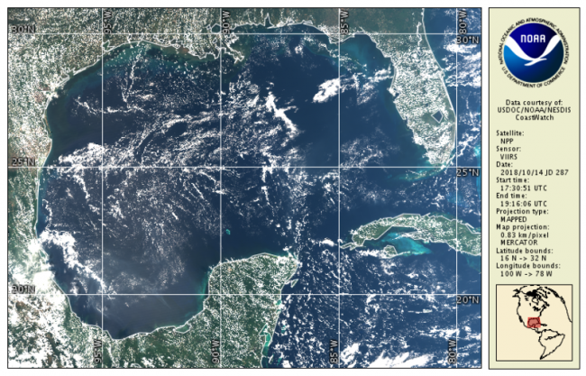
True color bands are provided from VIIRS on both S-NPP and NOAA-20 VIIRS spacecraft. These top-of-atmosphere products are generated from the emissive bands (M-bands) for wavelengths corresponding to Red, Green, and Blue and are provided in CoastWatch HDF and PNG daily composite mapped regions
Data Access
Product Overview
File variable contents include the following and are compatible with the CoastWatch Utilities:
| EV_BandM3 | mW cm-2 um-1 sr-1 |
| EV_BandM4 | mW cm-2 um-1 sr-1 |
| EV_BandM5 | mW cm-2 um-1 sr-1 |
| latitude | degrees |
| longitude | degrees |
| graphics |
Product Details
| Short Names |
VIIRS_L3
|
|---|---|
| Temporal Coverage |
Near real-time + 3 days |
| Product Families |
True Color Imagery
|
| Measurements |
True Color Imagery (RGB)
|
| Processing Levels |
Level 3
|
| Latency Groups |
0 Hours <= 24 Hours (NRT)
|
| Latency Details |
Near real-time + 3 days |
| Spatial Resolution Groups |
2km+
|
| Spatial Resolution Details |
2km (2.3163 km or 0.02°) |
| Data Providers |
Copernicus
NOAA
CoastWatch
|
Spatial Coverage
Global
| Description |
180W - 180E |
|---|
CoastWatch US Regions
| Description |
Also known as the CoastWatch Regional Nodes: OceanWatch Central Pacific, PolarWatch, Great Lakes, East Coast, Atlantic OceanWatch - Caribbean - Gulf of America, WaterWatch (inland rivers), West Coast |
|---|