CoastWatch US Regions

Description

Also known as the CoastWatch Regional Nodes: OceanWatch Central Pacific, PolarWatch, Great Lakes, East Coast, Atlantic OceanWatch - Caribbean - Gulf of Mexico, WaterWatch (inland rivers), West Coast

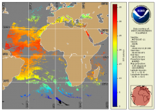
VIIRS (SNPP) Level 3

Product Families
Sea Surface Temperature
Summary

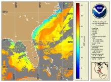
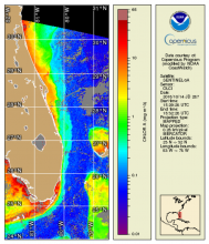
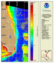
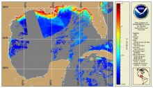
NOAA CoastWatch / OceanWatch / PolarWatch produces Level 3 sea surface temperature datasets using the VIIRS sensor aboard the SNPP satellite. 

AVHRR (MetOp-1/2) Level 2/3

Product Families
Sea Surface Temperature
Summary

NOAA CoastWatch / OceanWatch / PolarWatch produces Level 2/3 sea surface temperature datasets using AVHRR sensors aboard the Metop 1/2 satellites. 

Ocean Color - Near Real Time - OLCI Sentinel-3A and 3B Regional Coverage

Product Families
Ocean Color
Summary

OLCI Sentinel-3A and 3B regional coverage (US coasts of interest, a.k.a. "CONUS" but including Hawaii) Level-3 mapped daily composites of ocean color remote sensing reflectances (Rrs(λ), chlorophyll-a concentration and derived water quality related products including diffuse attenuation coefficient at 490 nm (Kd490),  normalized fluorescence line height (NLFH), and total suspended matter (TSM) from the EUMETSAT processing.

NOAA MSL12 Ocean Color - Near Real Time - VIIRS single-sensor SNPP and NOAA-20

Product Families
Ocean Color
Summary

Ocean Color Level 2 (EDR) is produced through NOAA Multi-Sensor Level 1 to Level 2 processing system (MSL12) from IDPS satellite data record (SDR, Level 1b).  Level 3 mapped and composite products are also available, now including a 2-sensor (VIIRS:  SNPP plus NOAA-20) merged daily chlorophyll and diffuse attenuation coefficients (Kd(490) and Kd(PAR) .

True Color OLCI Sentinel-3A/B

Product Families
True Color Imagery
Summary

OLCI true color products are generated from atmospheric corrected rho_s bands.  Data are available in mapped 300m regions in near real-time CoastWatch HDF format and are compatible with the CoastWatch Utilities. 

True Color VIIRS S-NPP/NOAA-20

Product Families
True Color Imagery
Summary

True color bands are provided from VIIRS on both S-NPP and NOAA-20 VIIRS spacecraft.  These top-of-atmosphere products are generated from the emissive bands (M-bands) for wavelengths corresponding to Red, Green, and Blue and are provided in CoastWatch HDF and PNG daily composite mapped regions

Seviri (MSG) - Geostationary - Level 3

Product Families
Sea Surface Temperature
Summary

The National Oceanic and Atmospheric Administration's Office of Satellite Data Processing and Distribution are generating operational sea surface temperature (SST) retrievals from the Geostationary Operational Environmental Satellites GOES-East and West. The generation of SSTs began with GOES-8 in 2000 and has continued to be generated through GOES-15