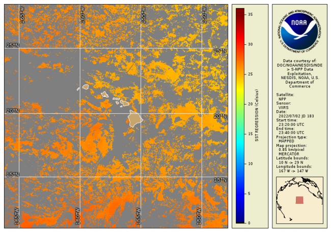
NOAA CoastWatch / OceanWatch / PolarWatch produces Level 3 sea surface temperature datasets using the VIIRS sensor aboard the SNPP satellite.
Data Access
| Data Tool Links | |
| Sample Filenames | 2016_300_0530_npp_er.hdf [YYYY_JJJ_HHMM_PPP_RR.[png, tif, hdf] |
| HTTPS | https://www.star.nesdis.noaa.gov/data/socd3/coastwatch/products/legacy_sst/viirs/ |
Product Overview
Product Details
Short Names
VIIRS_L3
Temporal Coverage
Near real-time + 3 days
Product Families
Sea Surface Temperature
Measurements
Sea Surface Temperature - Polar-orbiting
Processing Levels
Level 3
Spatial Coverage
Latency Groups
0 Hours <= 24 Hours (NRT)
Latency Details
Less than 24 hours
Spatial Resolution Groups
100m < 2km
Spatial Resolution Details
750m @ Nadir; ~1.7km at swath edge
Platforms
Instruments
Data Providers
NOAA
NESDIS
STAR