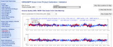
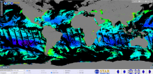
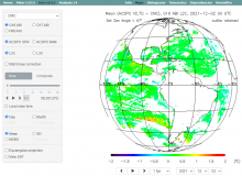
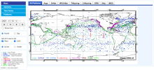
Near Real-Time Altimeter Validation System (NRTAVS)
Monitor Type
Quality Assurance
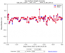
NRTAVS produces comprehensive, running web-based summaries of individual correction terms, as well as wind, wave and sea-surface height for satellite radar altimeter missions.