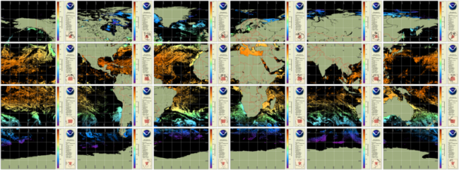
NOAA CoastWatch co-gridded VIIRS SST products are Level 3 daily composites in compatible format and projection with other CoastWatch Level 3 sector and global products (such as CoastWatch sector VIIRS ocean color). Twenty four CoastWatch sector files mapped to equatorial projection that cover the globe (see Description tab for sector definitions) two polar stereographic sectors in 750 m nominal, native resolution and a global, 4 km resolution, single file mapped product is also available. These CoastWatch Level 3 products are generated from ACSPO L2P SST as input.
Data Access
Product Overview
NOAA CoastWatch creates these co-gridded AVHRR SST Level 3 daily composites to be compatible in format and projection with the VIIRS Ocean Color Level 3 daily composites (Note VIIRS sector full resolution is 750m). The input for these CoastWatch Sector SST files is daily, near real time ACSPO SST for AVHRR.
These SST products are intended for users who seek AVHRR ACSPO SST data co-registered with CoastWatch ocean color data from AVHRR and are not the NOAA operational L3U ACSPO products. The CoastWatch co-gridded products are available in regional Sectors at full 1.2 kilometer AVHRR resolution and as global products at 4 km resolution. The regional products consist of 24 sectors (see Sector map below) mapped to the VIIRS ocean color sectors, and polar stereographic regions NP06 and SP06 mapped identically to the CoastWatch VIIRS ice products. The 4 km global product is also mapped identically to the corresponding CoastWatch VIIRS ocean color product.
These products start with the operational ACSPO L2P product (in the canonical ten-minute granule form), ingest that for CoastWatch processing, and then georegister and mask those granule-level products. The mask applied is 0xC002.That rejects pixels flagged 0x40, 0x80, and 0xC0 (anything but confident clear) and pixels flagged 0x02 (land). The L3 masked granule products are aggregated to a daily product on the same grid on the basis of the last pixel seen. The 4 km global product is created by averaging the non-null values for the pixels of the daily sector maps in a 5x5 grid.
Note: CoastWatch also distributes a gap-filled polar plus geosynchronous blended daily SST analysis product suite at 5 km resolution.
Product Details
| Short Names |
CW Sector SST
|
|---|---|
| Temporal Coverage |
Daily |
| Product Families |
Sea Surface Temperature
|
| Measurements |
Sea Surface Temperature - Polar-orbiting
|
| Processing Levels |
Level 3
|
| Latency Groups |
0 Hours <= 24 Hours (NRT)
|
| Latency Details |
~12-24 h |
| Spatial Resolution Groups |
100m < 2km
2km+
|
| Spatial Resolution Details |
Global in 24 CoastWatch Sectors (24 separate files at nominal 750 m resolution) |
| Data Providers |
NOAA
NESDIS
STAR
SST Team
|
Spatial Coverage
Global
| Description |
180W - 180E |
|---|
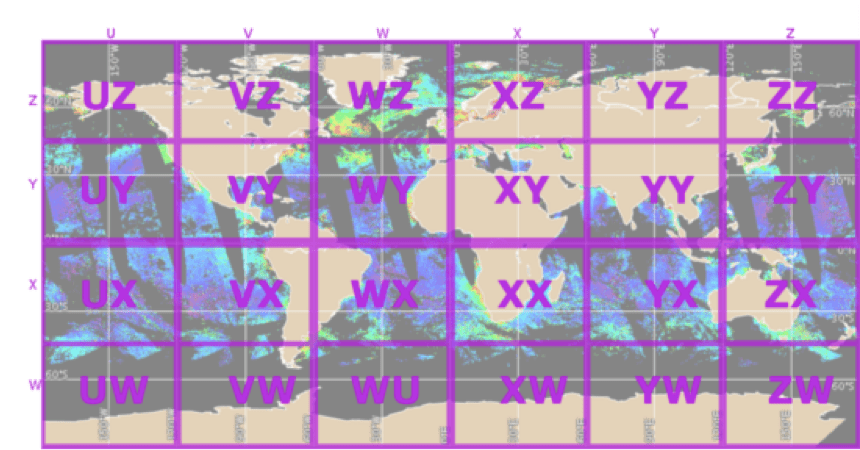
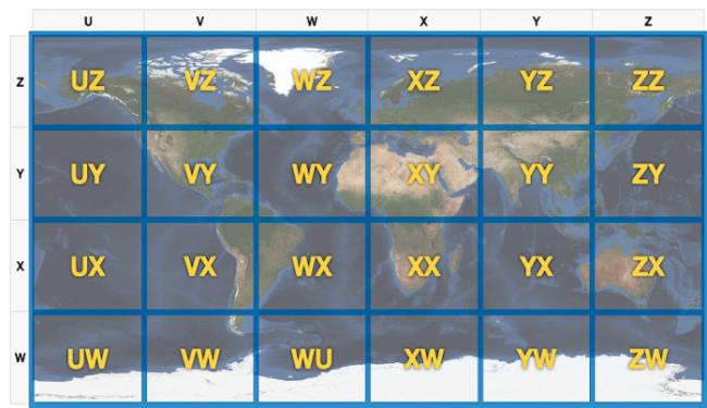
CoastWatch Global Sectors
| Description |
The 24 sectors identified for file naming convention when referring to VIIRS data. |
|---|---|
| Image |
|
Processing Algorithms
ACSPO
| Description |
Advanced Clear Sky Processor for Ocean (ACSPO) is the NOAA Enterprise SST system |
|---|