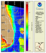
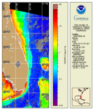
NOAA MSL12 multi-sensor DINEOF global 2 km gap-filled products: Chlorophyll-a, diffuse attenuation coefficient Kd(490), and suspended particulate matter (SPM)
| Product Families |
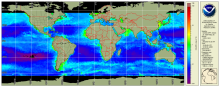
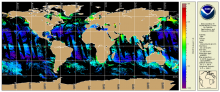
Ocean Color
|
|---|---|

|
|
| Summary |
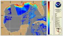
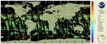
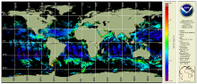
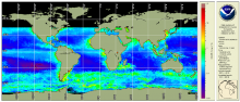
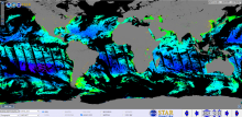
The NOAA Multi-Sensor Level-1 to Level-2 (MSL12) Ocean Color, science quality, multi-sensor 2 km global gap-filled analysis includes chlorophyll-a, Kd(490), and SPM products. These global gap-free data are generated using the data interpolating empirical orthogonal function (DINEOF) method (Liu and Wang, 2023). This product currently uses data from 3 instruments: the Visible Infrared Imaging Radiometer Suite (VIIRS) sensor aboard the Suomi National Polar-orbiting Partnership (SNPP) satellite, VIIRS on the NOAA-20 satellite, plus the Ocean and Land Colour Instrument (OLCI) on the Sentinel 3A satellite from the Copernicus program of the European Union. |