Copernicus

European Union's Earth Observation Program

SAR Composite Arctic Imagery (normalized radar cross section)
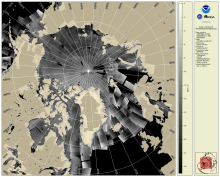
The daily composite of Synthetic Aperture Radar (SAR) Normalized Radar Cross Section (NRCS) imagery covering the Arctic and sub-Arctic maritime regions over a period of one day are available at 1-km resolution. These high-resolution, weather- and time-agnostic measurements of surface backscatter contain detailed information tailored for sea ice classification purposes.
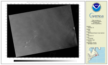
Synthetic Aperture Radar Imagery (NRCS)

Spaceborne Synthetic Aperture Radar (SAR) imagery maps the surface microwave radar reflectivity at resolutions from a sub-meter to 100 m depending on the particular SAR satellite and mode. Since a radar provides its own illumination, imagery is independent of the time of day. At typical radar frequencies, SARs can image through clouds, so SARs are considered "all-weather" instruments.  Several geophysical parameters can be derived from SAR including sea surface wind speed.

MSI Sentinel-2 Imagery

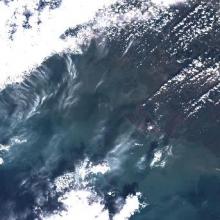
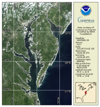
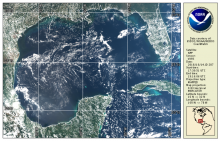
MSI Sentinel-2 high spatial resolution imagery and data from Copernicus are served from CoastWatch for coastal US regions in near real time as the data become available.  JPEG and TIF images as well as zipped Level 1C data are available.

True Color OLCI Sentinel-3A/B

OLCI true color products are generated from atmospheric corrected rho_s bands.  Data are available in mapped 300m regions in near real-time CoastWatch HDF format and are compatible with the CoastWatch Utilities. 

True Color VIIRS S-NPP/NOAA-20

True color bands are provided from VIIRS on both S-NPP and NOAA-20 VIIRS spacecraft.  These top-of-atmosphere products are generated from the emissive bands (M-bands) for wavelengths corresponding to Red, Green, and Blue and are provided in CoastWatch HDF and PNG daily composite mapped regions