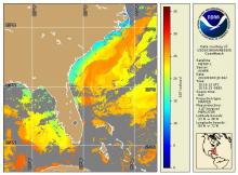
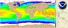
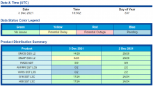
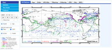
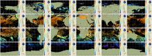
Experimental Eddy Products
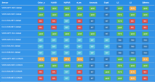
| Product Families |
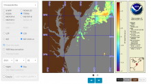
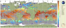
Ocean Currents
Sea Surface Height
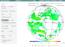
Sea Surface Salinity
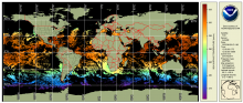
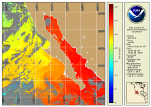
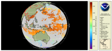
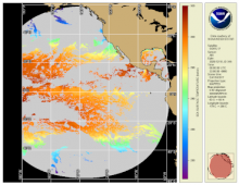
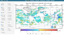
Sea Surface Temperature
|
|---|---|

|
|
| Summary |
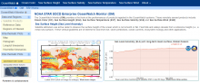
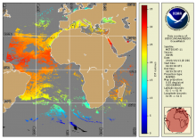
The sea surface height team in NOAA’s Laboratory for Satellite Altimetry produces two experimental mesoscale eddy products:
|