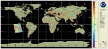
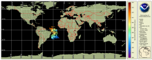
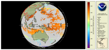
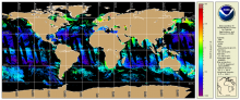
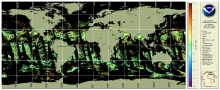
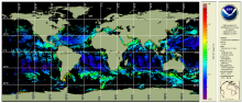
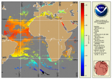
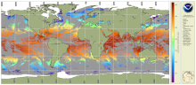
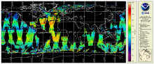
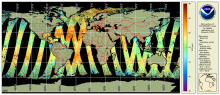
Global Water Classification from VIIRS

The global water classification products are produced by the NOAA Ocean Color Science Team from the VIIRS-SNPP Level 2 Ocean Color data. Water classification data is 9km resolution, with daily, 8-day and monthly products generated.
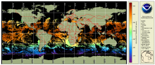
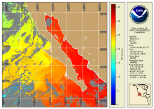
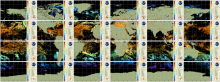
![Example of MESI product [zoomed from global] centered on the Atlantic Ocean.](../sites/default/files/styles/medium/public/2026-03/MESI_v1_multi_global_daily_s20260221_e20260221e8f1.png?itok=9XXZ6a1Z)